 AGeoLM – Advanced Geoinformation in Land Management
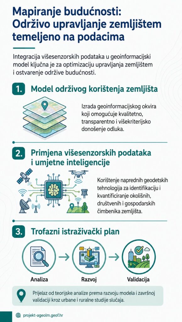
Geoinformation support for sustainable land management: integration of spatial data, multi-sensor measurements, and multi-criteria models for transparent and sustainable land management in rural and urban areas.
Research team and collaborators:
Hon. Prof. Dr. sc. Hrvoje Tomić — project manager; geoinformation infrastructure and land management.
Prof. Dr. Sc. Siniša Mastelić Ivić — deputy head; compensation, evaluation, normative framework.
Prof. Dr. Jarosław Janus — Poland; rural development and land policies.
Hon. Prof. Dr. Sc. Ela Ertunc — Turkey; geoinformation technologies and methodological framework.
Lana Ivković — PhD student; model analysis and dissemination.
Marin Tomić — PhD student; field measurements, accuracy and reliability.
Bojan Linardić — PhD student; urban planning and preparation.
Luka Zalović — PhD student; multisensory technologies and SLAM systems.
Duration of the project: 48 months
Head of Department: Prof. Dr. Hrvoje Tomić
Institution: Faculty of Geodesy, University of Zagreb
The main goal
Development of a geoinformation approach for optimizing land management. Development of a methodology based on geoinformation infrastructure. Identification of factors and development of automated valuation models. Prototype of a database and validation on pilot areas. Web service for the exchange and visualization of spatial data and results.
What does the project bring? Value models based on high-resolution spatial data. Multisensor measurement: LiDAR, GNSS/RTK, 360° and photogrammetry. Prototype of an information system and validation in pilot areas. Proposal for a web service for visualization and sharing of results.